RTK · GNSS · LIDAR · PHOTOGRAMMETRY
RTKinematic delivers survey-grade drone mapping, LiDAR, and GNSS data for engineers, surveyors, developers, and construction teams who need numbers they can build on.
Gallery
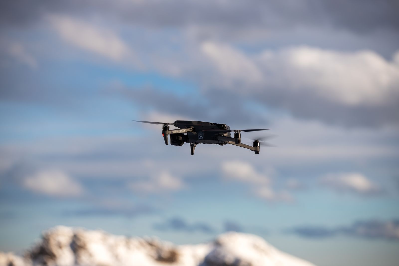
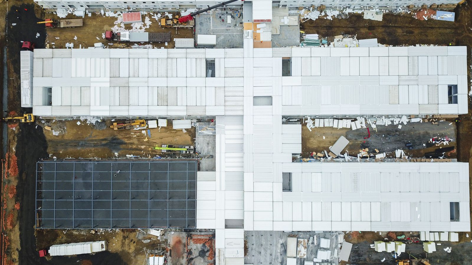
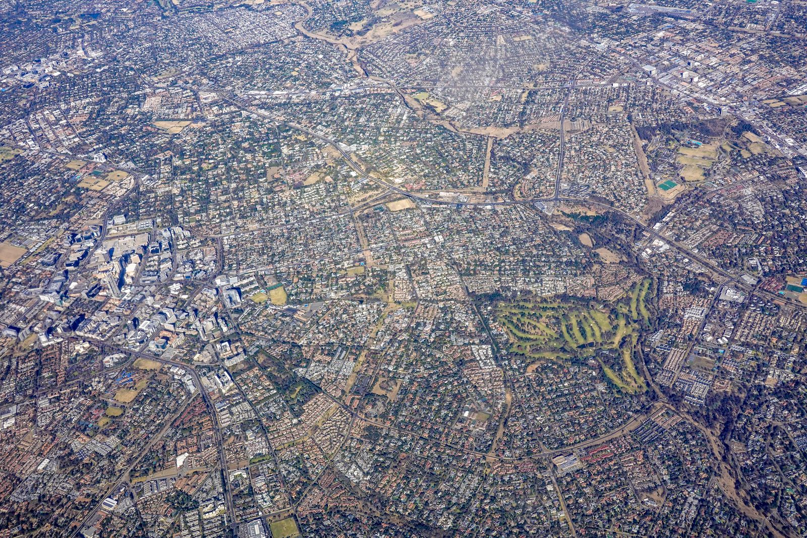
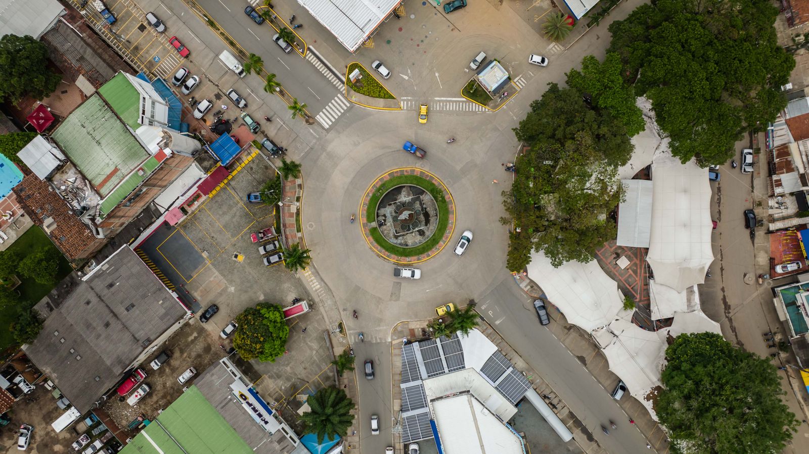
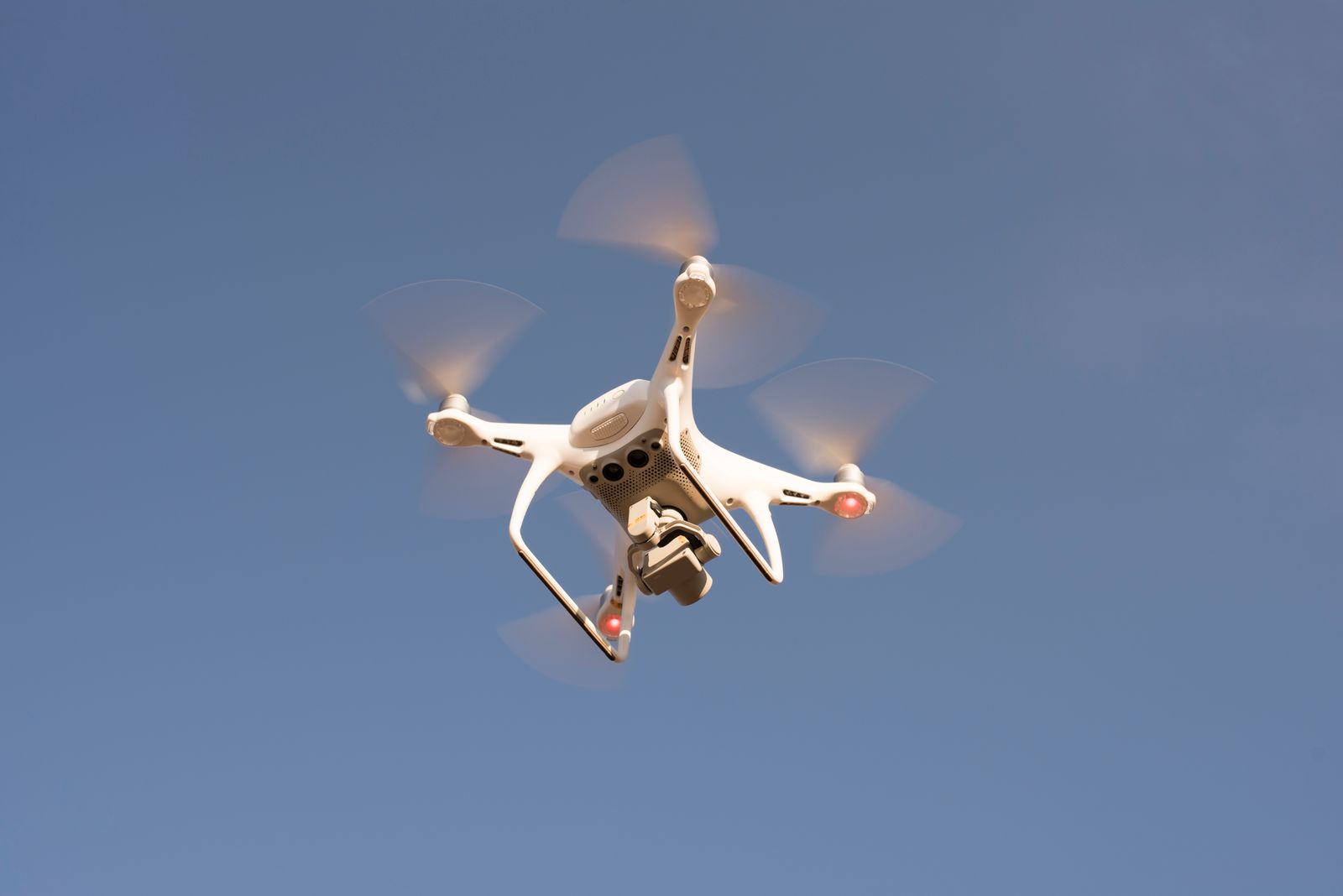
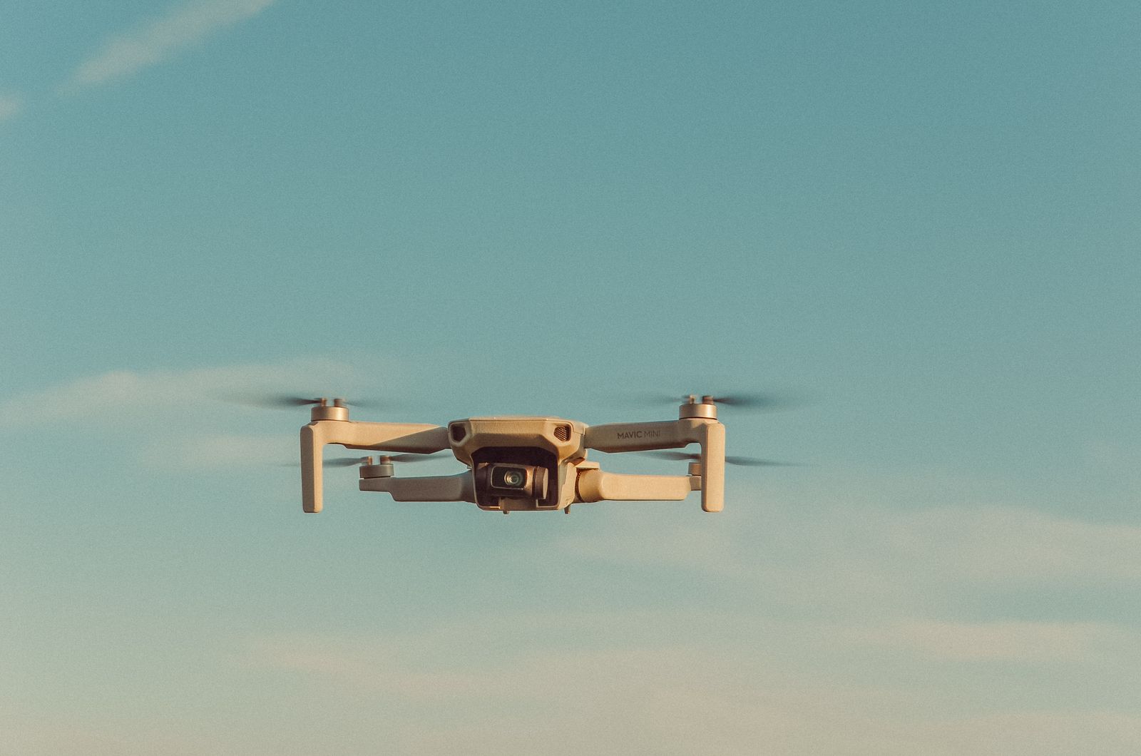
The view from every mission.
Aerial captures, top-down orthographic views, and the aircraft that collect them.
Videos
Flight footage, straight from the field.
From flight planning to final deliverables, our process keeps field crews and project teams aligned.
Stock footage courtesy of Pexels contributors · free for commercial use.
About
Precision geospatial data, collected right the first time.
We collect and process high‑precision RTK data. We cannot interpret that data as a legal survey. We produce geospatial products. We cannot produce legal surveying documents.
We operate as both a standalone aerial mapping provider and as a subcontractor to surveyors and engineers.
- Aerial Mapping Services — High‑resolution RTK drone mapping for engineering and construction.
- Geospatial Imaging — Orthomosaics, DSM/DTM, and 3D models for planning and analysis.
- Photogrammetry Deliverables — Georeferenced imagery and elevation products.
- RTK Data Acquisition — Centimeter‑level GNSS‑based aerial data collection.
- Topographic Mapping Products — Contours, elevation models, and terrain analysis (non‑legal).
- Construction Monitoring — Progress mapping, cut/fill visuals, volumetrics.
- Volumetric Analysis — Stockpile measurement and site material estimates.
Services
Three ways to capture your site.
Pick one, or combine them — most projects use at least two data sources to cross-check accuracy.
Drone Mapping
Centimeter-accurate aerial imagery and orthomosaic maps, captured fast and processed for CAD/GIS delivery.
ORTHOMOSAIC · NDVI · VOLUMETRICSLiDAR Surveys
Dense point clouds of terrain and vegetation, built for grading, drainage, and volumetric analysis.
POINT CLOUD · DEM/DTM · CONTOURS3D Modeling
Detailed 3D models of terrain, structures, and infrastructure — ready for design and as-built review.
MESH · BIM/CAD EXPORT · TEXTUREDProcess
From flight plan to deliverable.
Every project follows the same four stages, whether it's a two-acre lot or a multi-phase site.
Plan
Flight plan and ground control layout matched to your site and the accuracy you need.
Capture
Drone, LiDAR, and RTK GNSS data collected on-site and checked against ground control in the field.
Process
Point clouds registered, imagery stitched, and every dataset QA'd against survey control.
Deliver
Exports in the formats your team already works in — DWG, LAS, GeoTIFF, and more.
Get a Quote
Tell us about your site.
Share the location, rough size, and what you need — mapping, LiDAR, or a 3D model — and we'll get back to you with a plan.